


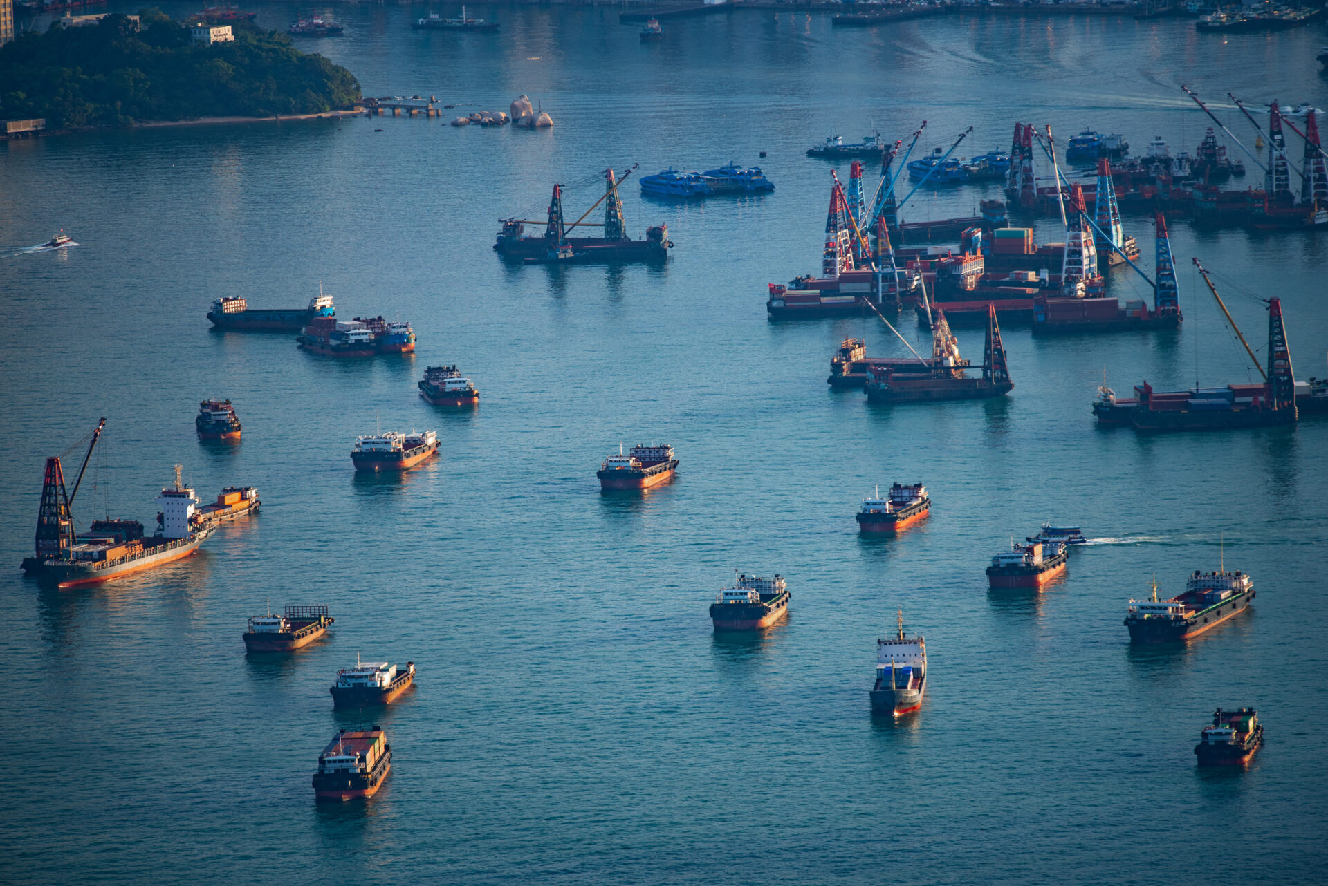

In Brazil’s far south, the state of Rio Grande do Sul has an extensive coastal and marine area, with a 640-kilometre coastline. This territory supports diverse ecosystems alongside multiple human activities, making its coastal and marine areas particularly important for spatial planning and environmental management.
Brazil has formally committed to implementing Marine Spatial Planning (MSP) by 2030. Environmental zoning and spatial planning play an important role in balancing environmental protection, human activities, and further development, particularly in the context of offshore wind energy’s emergence as a new sector in Brazil.
Offshore wind development adds a new spatial dimension to an already multi-use environment, reinforcing the importance of understanding existing marine uses and interests before new areas are designated for development.
Working with partners from the Integrated Coastal Management Laboratory (LAGECI) of the Federal University of Santa Catarina (UFSC), and support from Instituto Ambientes em Rede (IAR), we sought to identify areas of economic, social, and environmental importance and explore their possible overlaps with areas of interest for offshore wind development. The mapping was developed using the SeaSketch platform.
Rio Grande do Sul has emerged as a focal point for this development, hosting 16 project proposals and ranking among the Brazilian states with the highest number of offshore wind projects undergoing environmental licensing. Realising this potential also presents important planning and governance challenges. Against this backdrop, understanding how marine areas off the coast of Rio Grande do Sul are used is essential to support offshore wind planning and deployment, helping to anticipate potential conflicts and foster dialogue and coordination among different users of the sea.
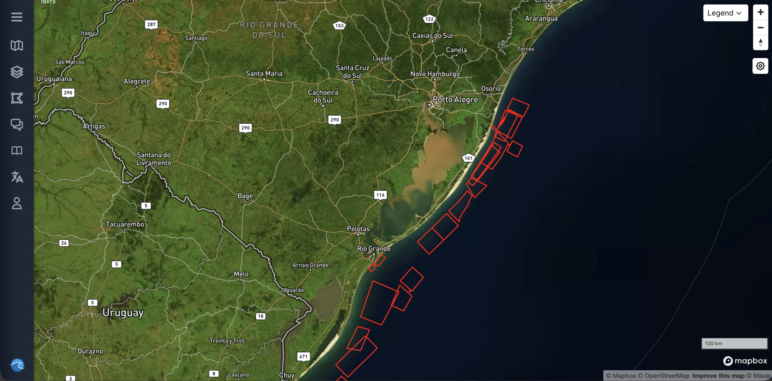
Rio Grande do Sul has emerged as a focal point for this development, hosting 16 project proposals and ranking among the Brazilian states with the highest number of offshore wind projects undergoing environmental licensing. Realising this potential also presents important planning and governance challenges. Against this backdrop, understanding how marine areas off the coast of Rio Grande do Sul are used is essential to support offshore wind planning and deployment, helping to anticipate potential conflicts and foster dialogue and coordination among different users of the sea.
How the dashboard was created
Through participatory mapping and interviews with 516 participants, the project brought together local knowledge and professional experience to identify important areas for artisanal and industrial fishing, marine conservation, scientific research, and offshore wind energy. By mapping these activities and exploring where their interests overlap, the project offers a new perspective on how the ocean is used, valued, and shared.
Explore the full StoryMap to discover the stories behind the dashboard, understand the connections and potential conflicts between different marine activities, and find out why recognising these overlapping interests is essential for making informed, inclusive, and sustainable decisions about the future of our ocean.